
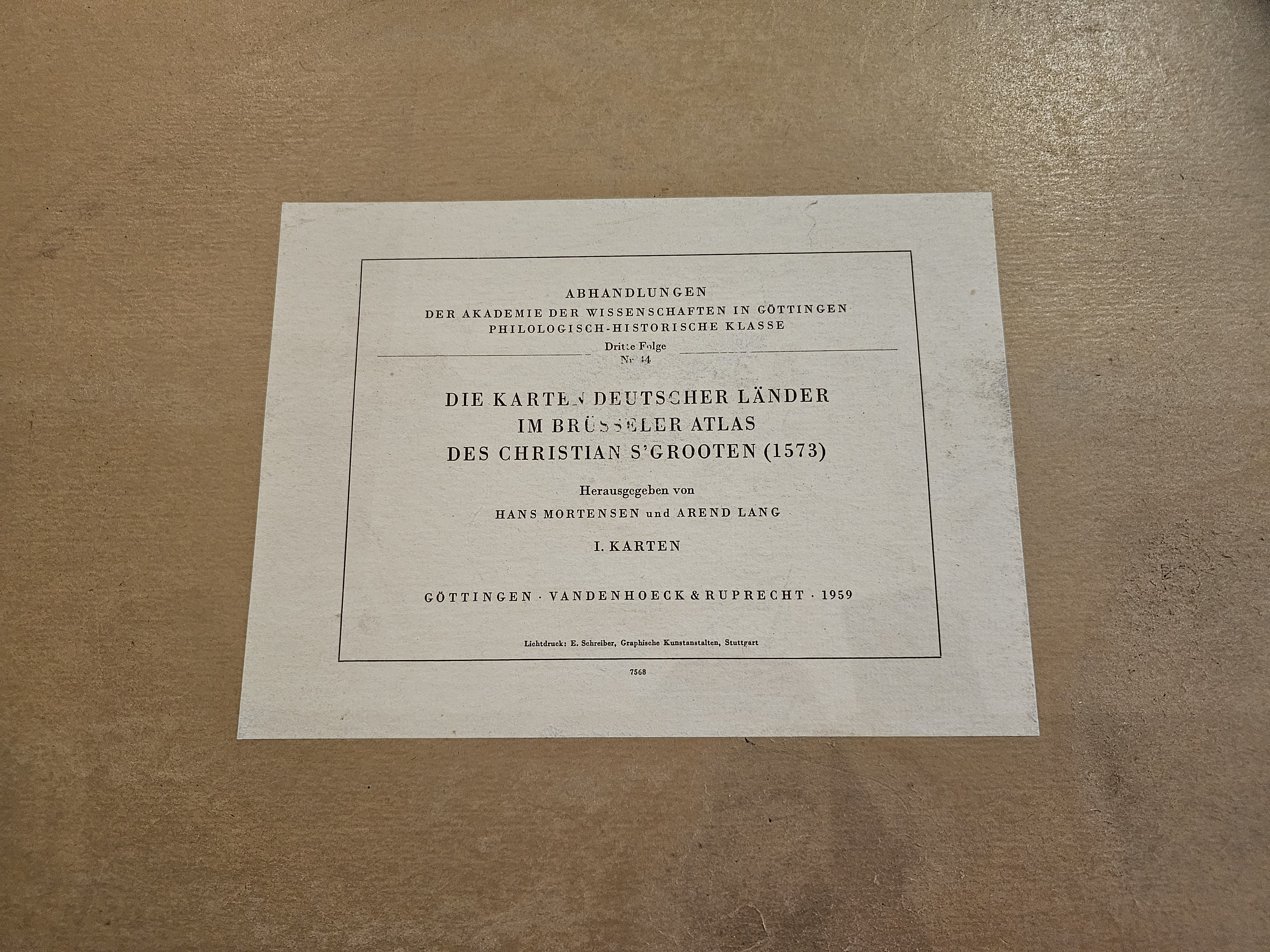
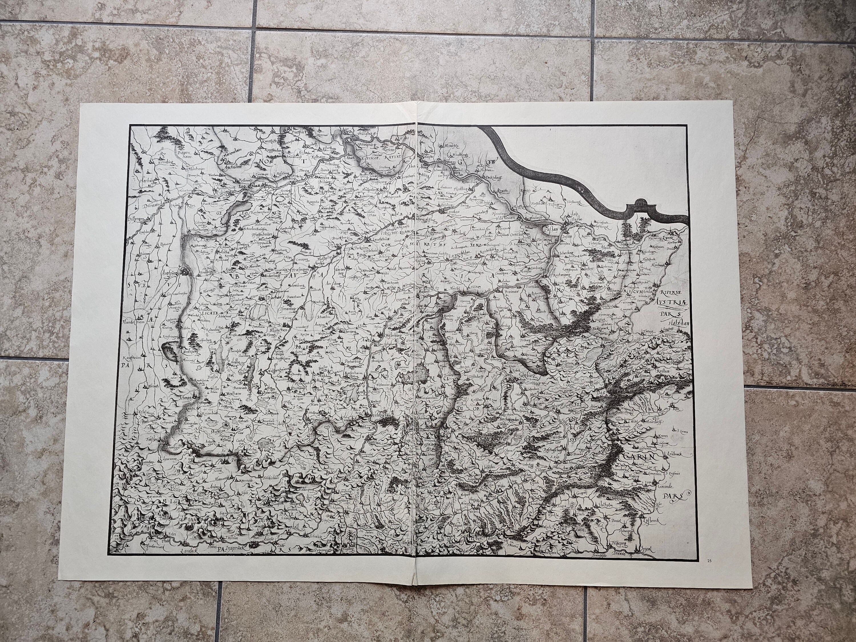
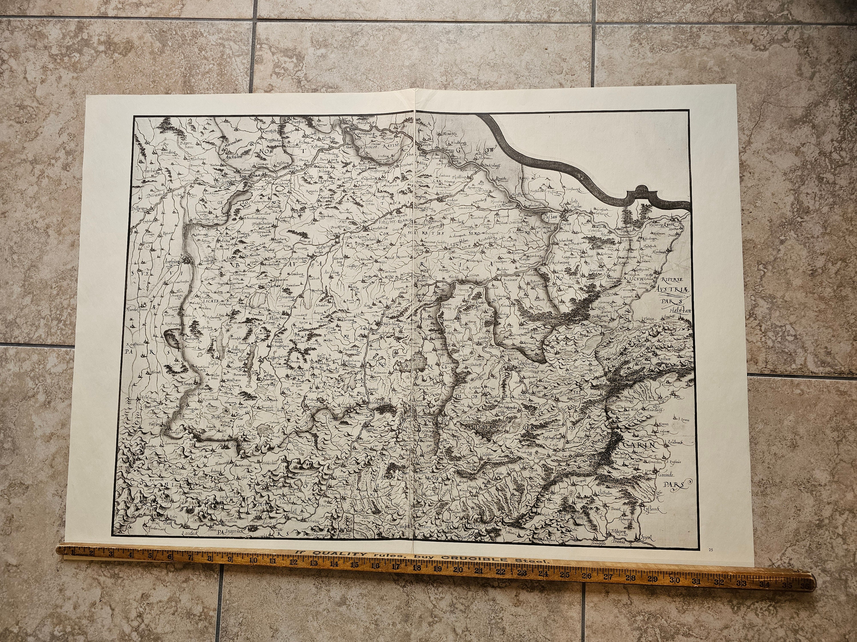
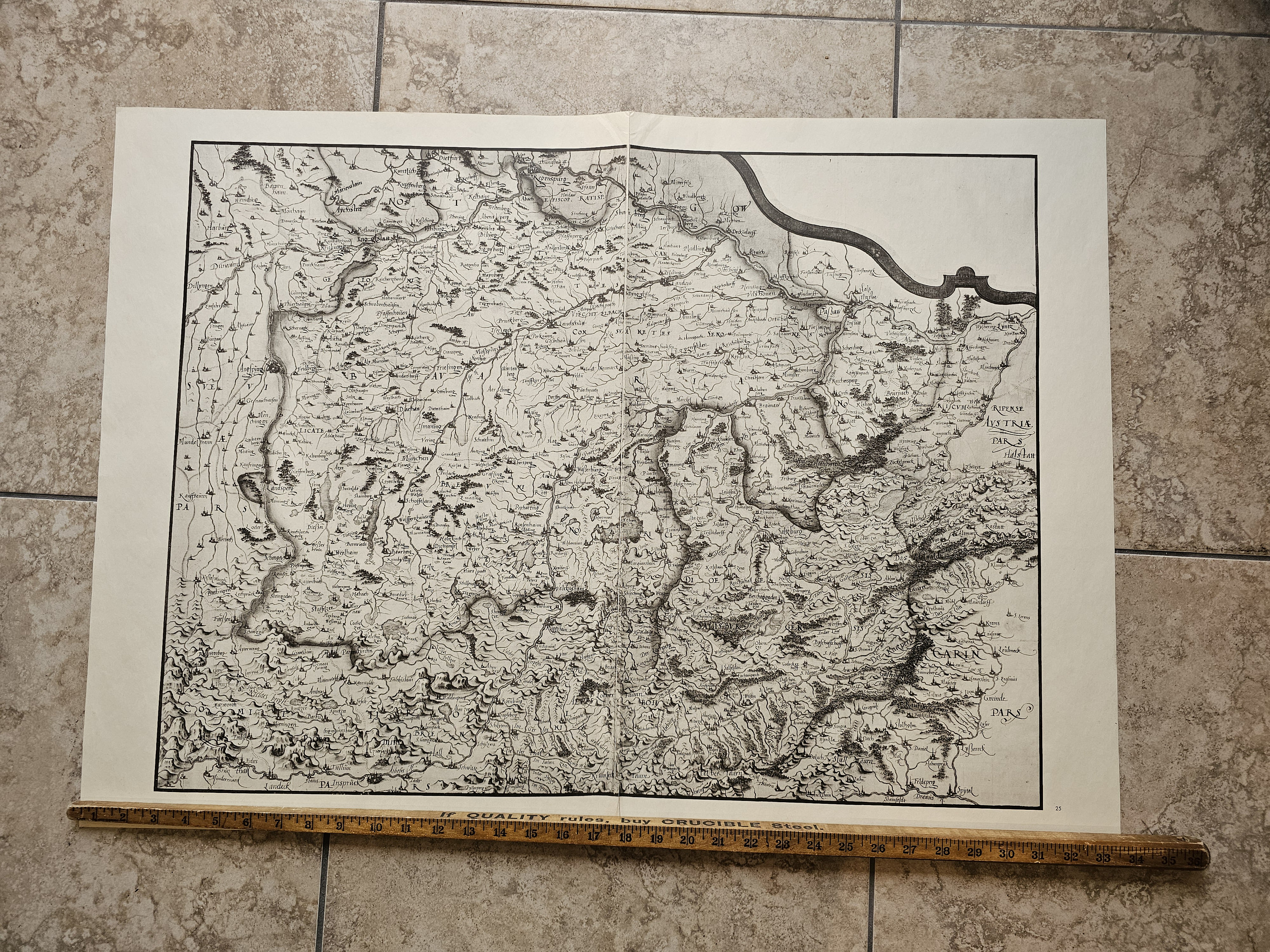
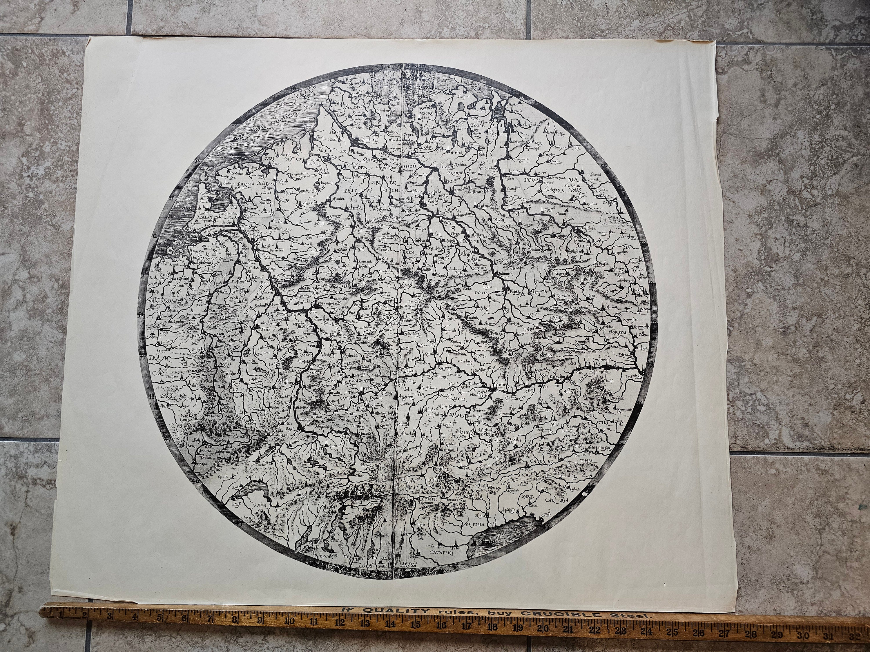
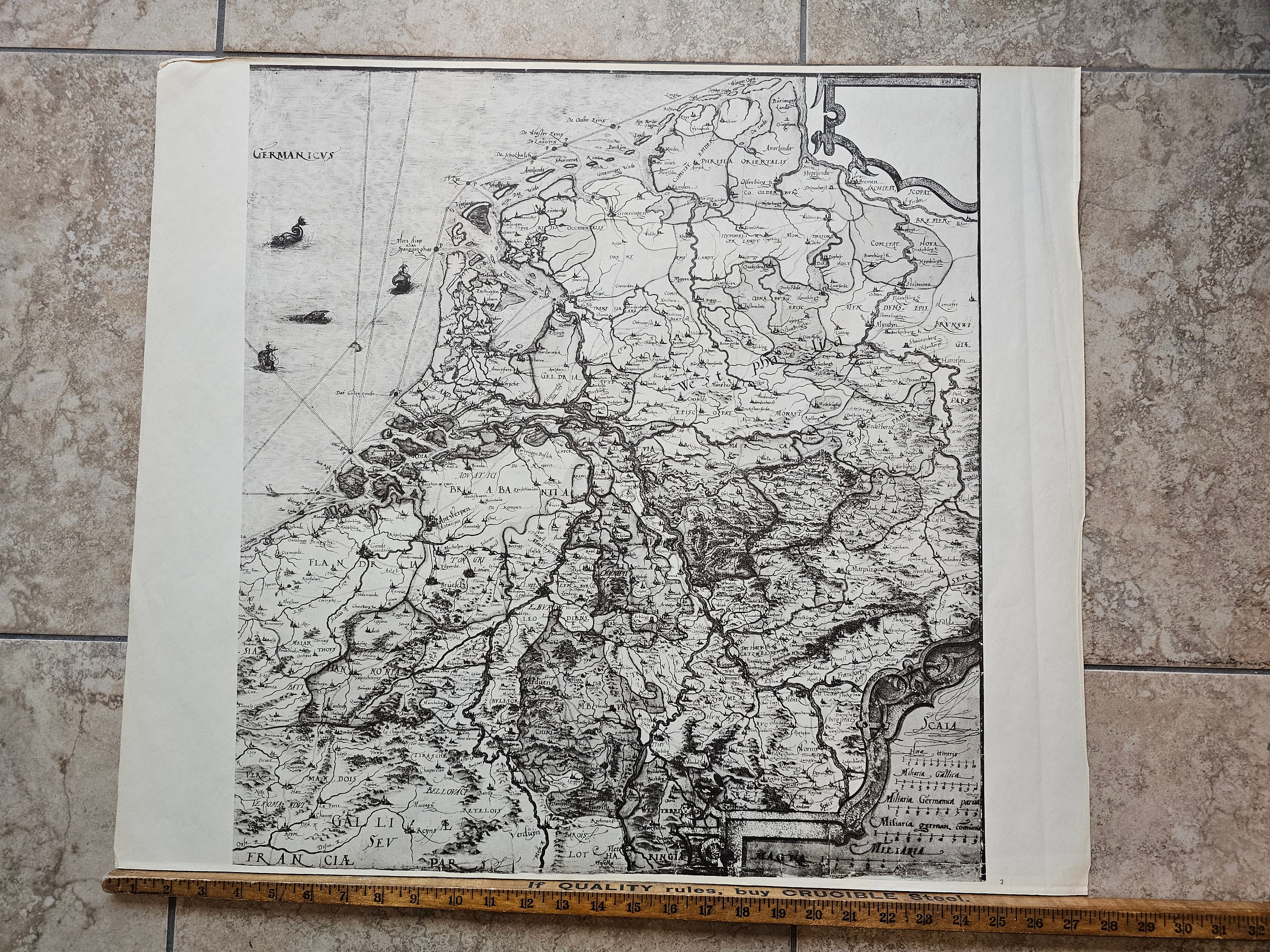
Christian Sgrooten Map of German Countries in the Brussels Atlas 1573 (Printed 1959)
$112.23
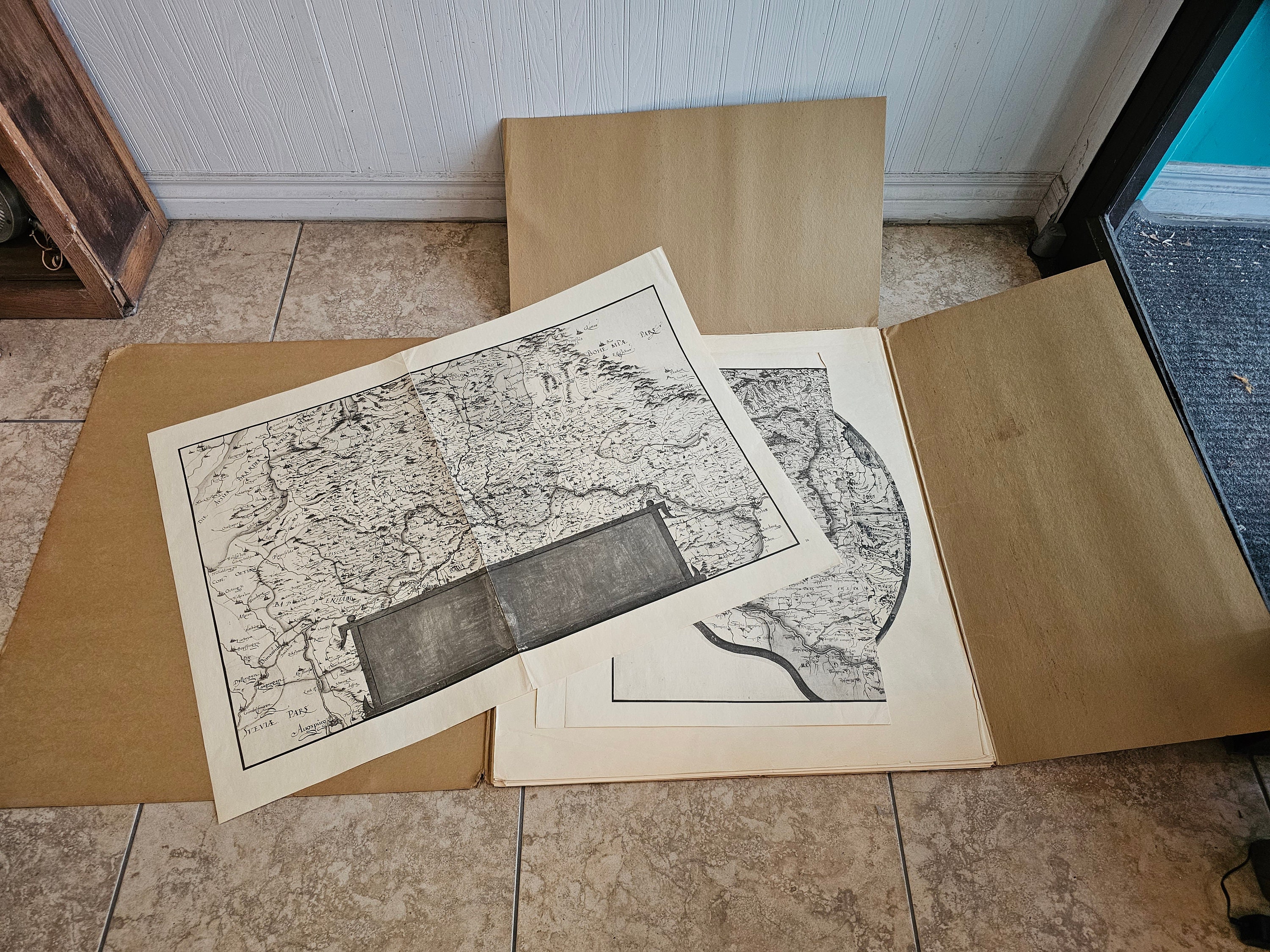
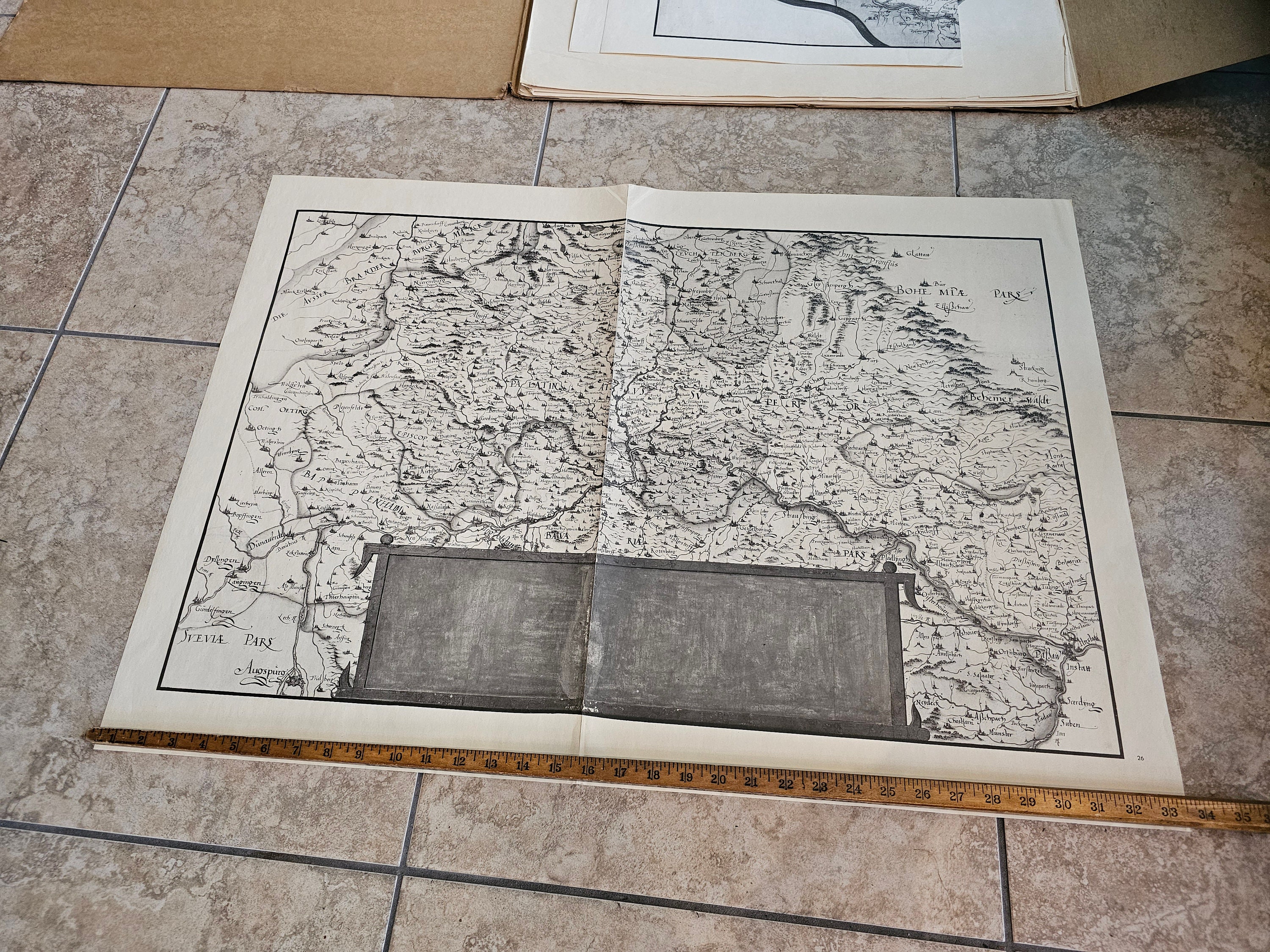
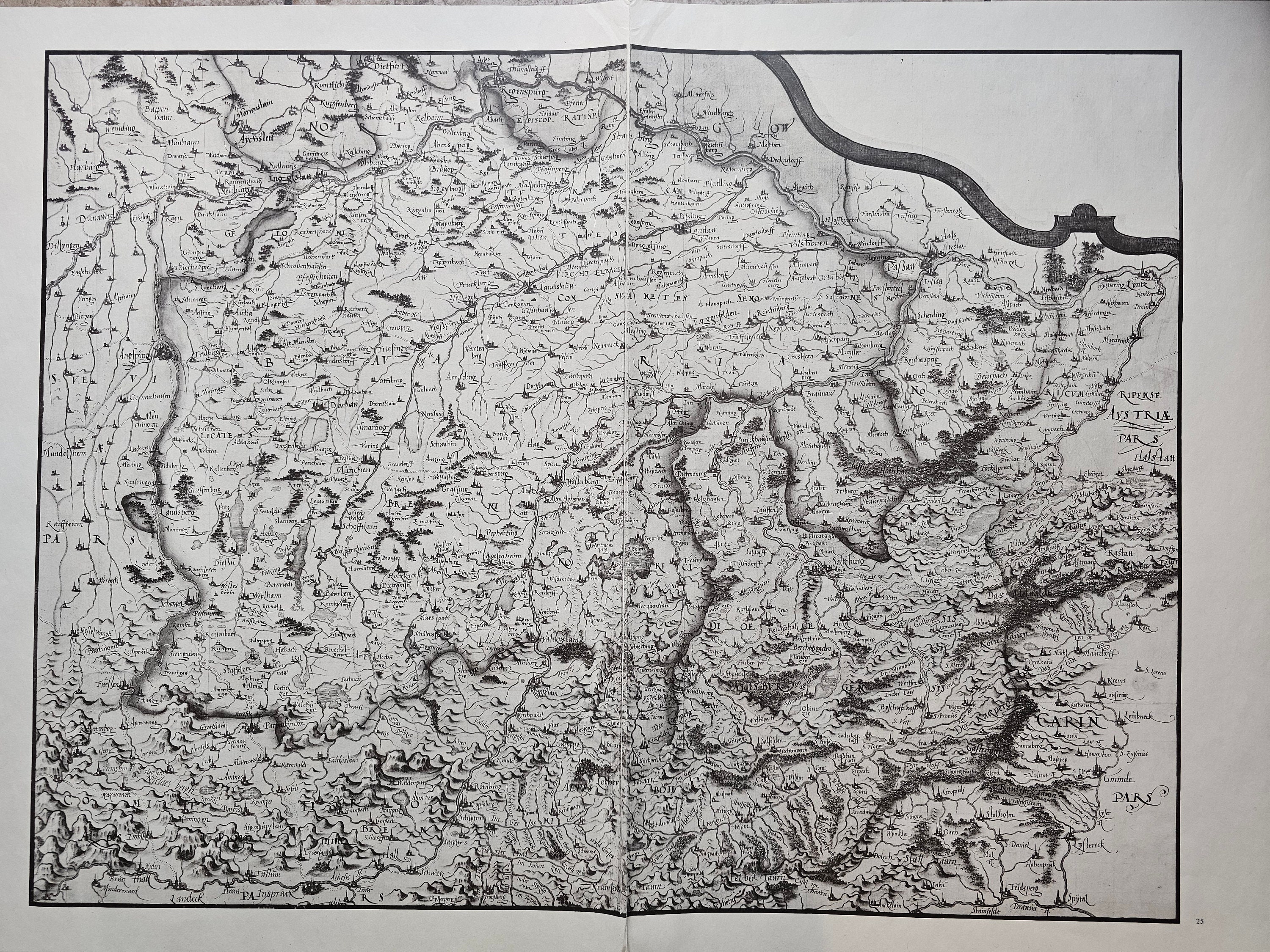
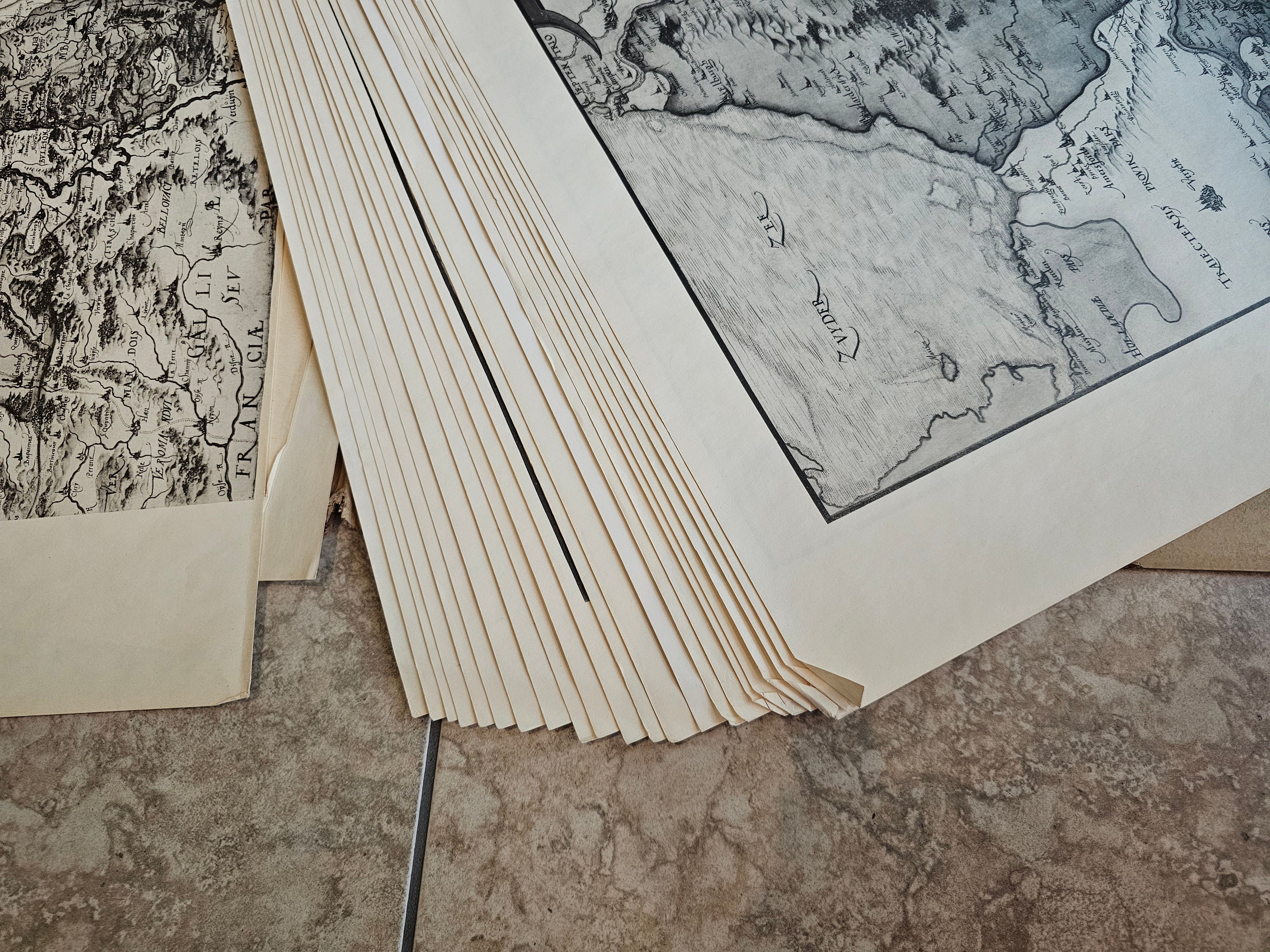
This map is a rare find - a part of Christian Sgrooten's Atlas from 1573, the first Atlas Sgrooten produced for the King of Spain . This section is comprised of multiple maps showing the German regions that were a part of the larger Atlas of Europe. Printed in 1959 by Gottingen Vandenhoek & Ruprecht. The map is in good condition but there are some bent edges as shown in the pictures. The individual maps are meant to be put together into one larger display. We have not put all of the maps together into the larger display, there are 25 pages in total, numbered 1-25. See pictures for rough measurements of the maps.
The folio containing all the maps measures 72cm x 63cm
Please see photos for condition and details.
Please use coupon code LocalPickup at checkout to remove shipping fees and pick up in store in Toronto!